Drone Roof Inspection in Gastonia, NC
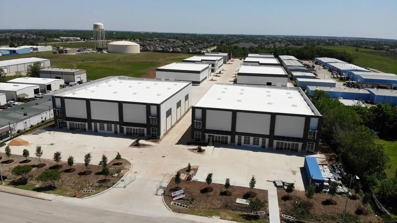
Some roofs are simply slow to walk. A long industrial building with a wide span of membrane, a steep-sided metal roof, a mill building with multiple levels and parapets: each takes hours on foot, and some areas cannot be reached safely at all. A drone changes that arithmetic. In Gastonia, NC, we use drone imaging to cover a large roof in a fraction of the time, to see areas a person should not stand on, and to give owners a visual record they can study at a desk.
The drone is a tool for gathering evidence, not a verdict. It shows where to look. A technician on the roof then confirms what the images suggest, and when moisture is the question we add infrared or core testing. The result is a faster inspection with stronger records, written in the same plain findings format as any other visit.
What Drone Imaging Shows Well
From the air, patterns appear that are hard to see at roof level. Ponding shows as discolored or reflective areas. Repair history shows as patches layered across the field. Seams that have separated show as dark lines. Debris, blocked drains, displaced coping and damaged flashing show up clearly, as do rooftop units that have shifted. Storm damage is especially easy to document because the drone covers the whole roof in one pass and captures the condition before cleanup begins.
High-resolution close-ups let us zoom in on a suspect detail without climbing to it. We tag each image to a location on the plan, so a manager can click through findings in order. For building types where roof access is restricted or difficult, such as high-bay structures and those with limited ladders, imaging gives a first look before anyone sets up fall protection.
Where a Drone Cannot Replace a Walk
A drone sees the surface. It does not feel a soft spot underfoot, probe a seam with a tool, or tell you what is inside the insulation. It cannot test adhesion at a lap or measure how much life a membrane has left in the way a core sample does. For those reasons we pair imagery with an on-roof check of the items that matter. We also fly under conditions that suit the work: low wind, no rain, and clear sight lines. Wind and weather can ground a flight, and when they do we reschedule.
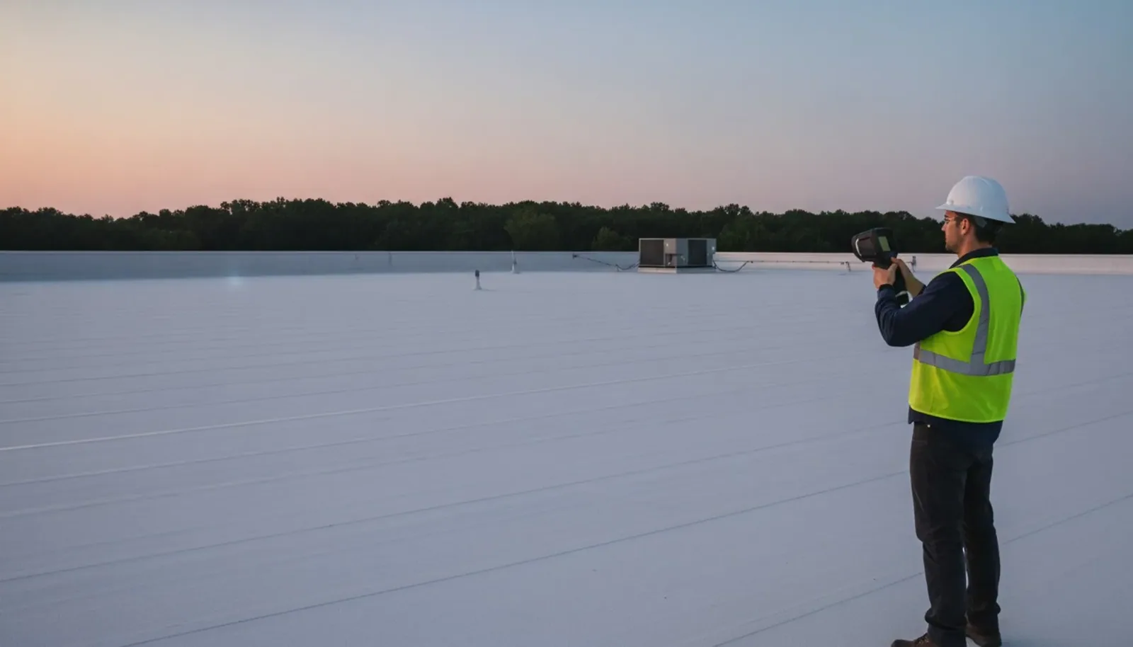
When the question is wet insulation, imagery alone is not enough. A moisture survey maps the water inside the roof, and the drone can carry the thermal camera for some surveys. We state in the report which method found which item, so the reader knows how firm each finding is.
Pricing and Deliverables
A drone inspection is priced by roof size, building count and the level of detail required. Deliverables include an annotated image set, a roof plan with findings marked, a ranked list of repairs and, where requested, a stitched overview of the roof. The report states what was imaged, what was checked on foot and what remains unknown, so no one reads more into a photo than it can support.
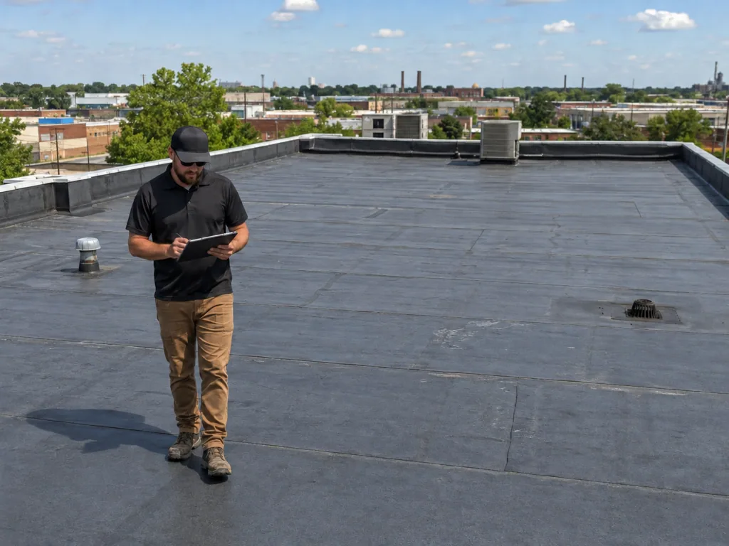
Compared with a full on-foot survey, the drone option can lower the cost and shorten the visit on large roofs. It also creates a dated visual baseline, which matters when a roof is being watched through its last few years. Capture the same roof each year and the images show change over time: how a seam has opened, how a pond has grown, how a repair has held. That baseline is the foundation of roof condition reports used for budgeting and for lenders.
Where Drone Work Fits in Gaston County
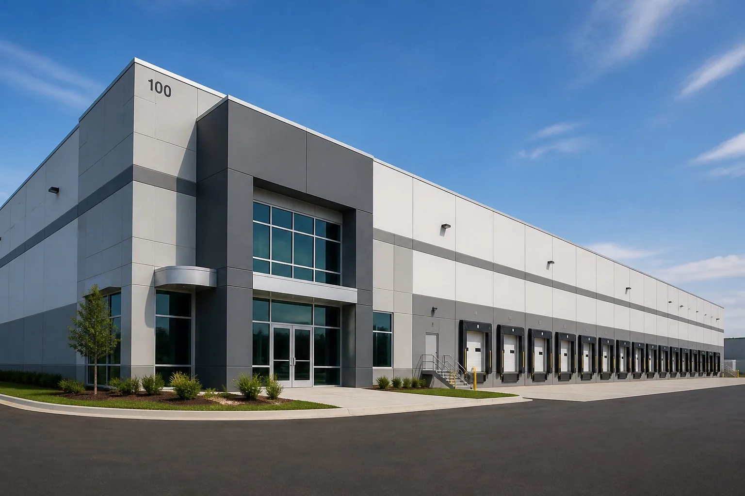
Large industrial sites are the obvious fit. The Gateway85 site between Gastonia and Lowell covers about 365 acres with 2.4 million square feet of delivered buildings, and Gastonia Technology Park is a 422-acre campus-style park for advanced manufacturing and technology users. Owners and managers of several buildings, including distribution center sites, can use one visit to produce comparable records for each building. The same set of images lets a facilities team compare drainage, penetrations and patch history from one roof to the next without a separate trip for each.
Mill-era buildings in the Loray district and in Belmont are another good fit, since their roofs may have multiple levels and parapets that limit sight lines from the ground. After a storm, drone imaging is a fast way to triage, and findings flow straight into storm damage roof repair scopes. After the May 2024 tornado crossed Gastonia and a warehouse in East Gastonia lost part of its roof, rapid imaging is how the surrounding buildings get sorted into roofs needing attention and roofs that can wait. Owners near Lowell and in the wider county can book either a single flight or a program.
Planning the Flight Before It Happens
Good imagery starts with planning. Before a flight we confirm the site address, check the airspace around it, note any restrictions on photography and agree on a time that suits the building. We ask about hazards: tall equipment, overhead lines, nearby trees and areas where people gather. On sites with several buildings we agree an order so the data comes back organized by building.
We also ask what you most want to see. If the question is ponding, we fly at a low sun angle that shows water lines. If it is a storm, we capture every elevation and the edges first. If it is a condition baseline, we fly the whole roof in a grid and add oblique shots of walls, parapets and rooftop equipment. The more specific the question, the more useful the images, and the shorter the report that follows.
After the flight, we review the images with a technician before writing anything. Items that look important get checked on the roof. Items that turn out to be shadows, stains or old patches that are sound are dropped from the report, so you see only what matters and what it would cost to address.
Keeping Imagery as a Record
We store flight images by building and date, so you can pull last year's roof next to this year's. Useful for insurance, warranty and sale conversations, the record shows condition before an event and after it. Pair it with an on-roof inspection and the two together give a defensible file. Ask us for a copy in the format your lender or carrier prefers.
Commercial Roofing Questions
Is drone imaging enough to decide on replacement?
It supports the decision but rarely makes it alone. Replacement calls depend on moisture, deck condition and membrane age, which need testing. The drone narrows where to test.
Can you fly over an occupied building?
Yes, with planning. We choose flight times and routes that keep operations running, and we respect restricted areas and nearby airspace rules before any flight.
Does weather affect a drone inspection?
Wind, rain and poor light can stop a flight. We reschedule rather than fly in marginal conditions, because poor images are worse than a short delay.
What file formats do I receive?
Annotated images, a marked roof plan and a written findings report. We can supply the originals if your insurer or lender asks for them.
How often should a large roof be imaged?
A yearly flight at the same time of year works well for tracking change, and an extra flight after a major storm documents damage quickly.
Topic
Drone Roof Inspection
Roof Types
Low-slope and metal
Related Roofing Work
Infrared Roof Moisture Surveys
Roof Condition Reports